CONE PEAK TRAIL, BIG SUR
OPEN: road closed November to March
FEE: none
AMENITIES: none
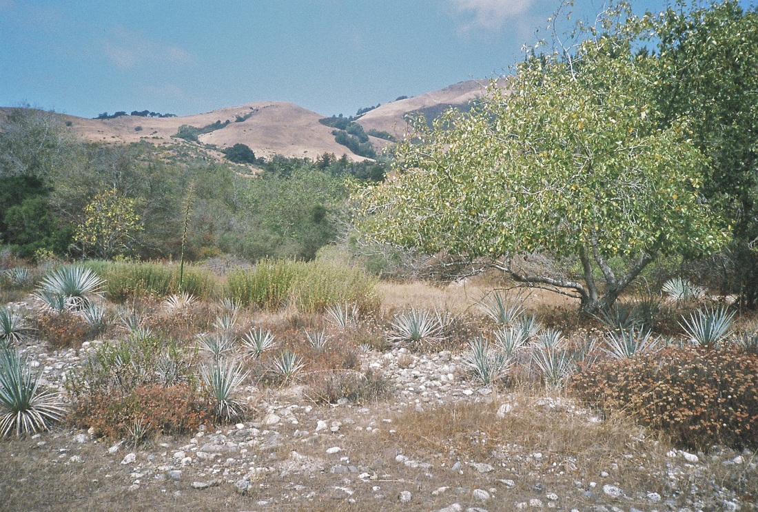
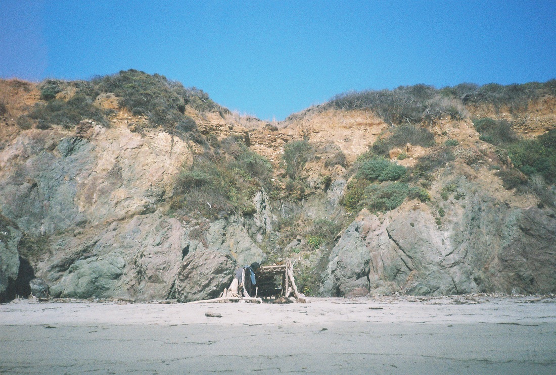
Finding a legal place to backpack in Big Sur is not easy. After finding all of the close-in to Big Sur tent sites were full, and desperate to find a place to lay our heads for the evening, we were directed by a park ranger to go about 30 miles to the north or south of Julia Pfeiffer Burns State Park in order to find a legitimate trail. We opted to go south to the Cone Peak Trail. After a drive down Hwy 1, you make a turn back toward the ridge and begin your ascent. The drive to this hike takes you up and up and up some more, winding through the hills of Big Sur. It takes you above they fog and clouds and you can look down the hills and see the ocean stretching out. This drive is long! After spending a very long and windy time heading up, you turn left onto a dusty one-lane track. This road is quite narrow and luckily we didn't encounter another car and have to decide who goes where. A forest fire in 2008 wiped out a lot of the landscape and you feel as if you're on a precarious pile of cinders.
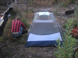
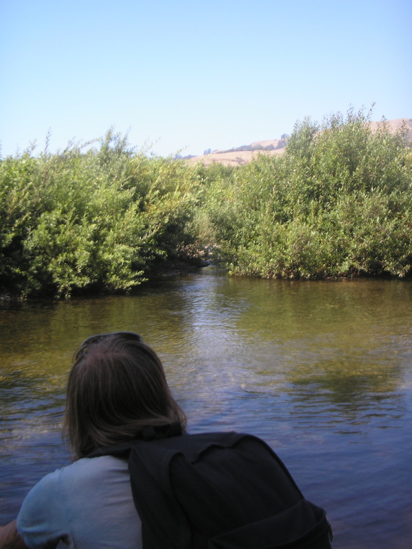
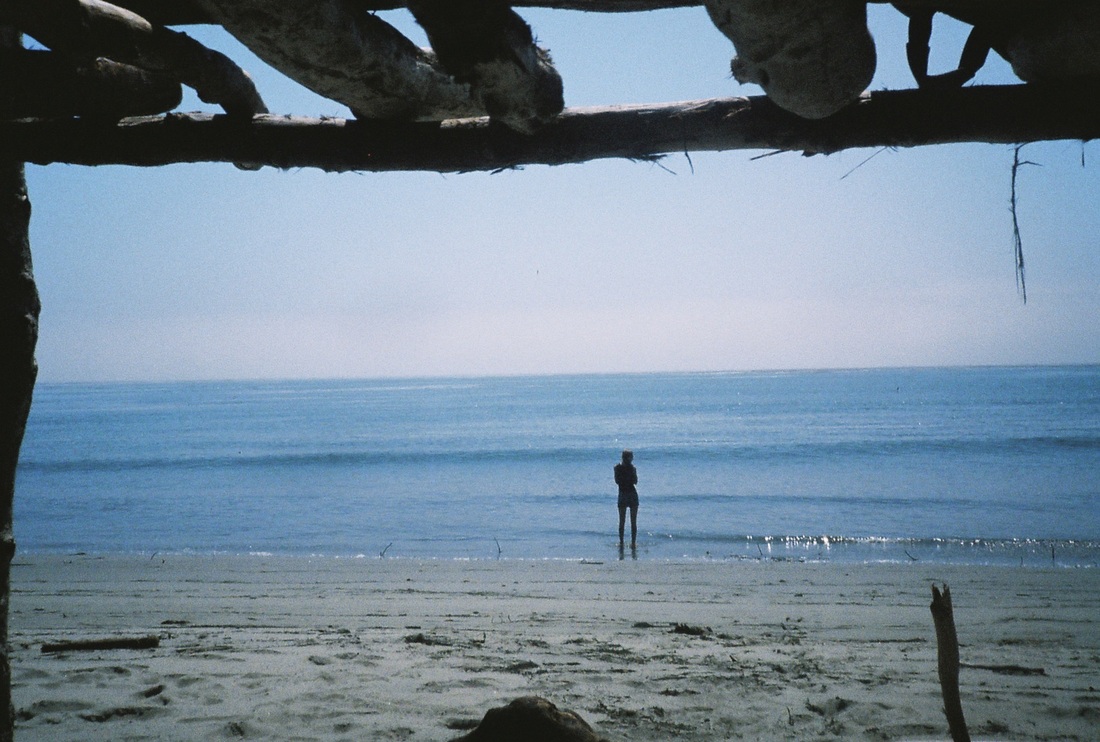
Once you spot the trailhead on the left, you follow a quick, steep descent between two of the hills you just drove up. Our experience with this trail was as night was falling and we were hustling down the trail, trying to get to the first campsite before dark. We never made it, but pitched our tent in the first flat spot we could find. So, unfortunately we do not have extensive information on the first designated camp site. It did appear that it was deep in the valley of the ridges. It is approx. 2.5 miles from the trail head, and there is a creek if you need to filter water. The benefits are that this hike is free and you can see some gorgeous views on the way up. However, learn from our mistake, give yourself a lot of time and energy for the drive and hike.
The photos on this page are from the spot along the trail where we just threw our tent down as we didn't make it to the camp site that evening.
FEE: none
AMENITIES: none
Finding a legal place to backpack in Big Sur is not easy. After finding all of the close-in to Big Sur tent sites were full, and desperate to find a place to lay our heads for the evening, we were directed by a park ranger to go about 30 miles to the north or south of Julia Pfeiffer Burns State Park in order to find a legitimate trail. We opted to go south to the Cone Peak Trail. After a drive down Hwy 1, you make a turn back toward the ridge and begin your ascent. The drive to this hike takes you up and up and up some more, winding through the hills of Big Sur. It takes you above they fog and clouds and you can look down the hills and see the ocean stretching out. This drive is long! After spending a very long and windy time heading up, you turn left onto a dusty one-lane track. This road is quite narrow and luckily we didn't encounter another car and have to decide who goes where. A forest fire in 2008 wiped out a lot of the landscape and you feel as if you're on a precarious pile of cinders.
Once you spot the trailhead on the left, you follow a quick, steep descent between two of the hills you just drove up. Our experience with this trail was as night was falling and we were hustling down the trail, trying to get to the first campsite before dark. We never made it, but pitched our tent in the first flat spot we could find. So, unfortunately we do not have extensive information on the first designated camp site. It did appear that it was deep in the valley of the ridges. It is approx. 2.5 miles from the trail head, and there is a creek if you need to filter water. The benefits are that this hike is free and you can see some gorgeous views on the way up. However, learn from our mistake, give yourself a lot of time and energy for the drive and hike.
The photos on this page are from the spot along the trail where we just threw our tent down as we didn't make it to the camp site that evening.

coffee at the makeshift site
Directions from the North: drive California Highway 1 southward from Monterey/Carmel for about 60 miles. After you pass the town of Lucia and Limekiln State Park there is a turn off on the left for paved Nacimiento-Fergusson Road, the only road that crosses the high Coast Ridge to connect to Highway 101. Turn onto this winding for 7.1 miles to a saddle where it crosses Coast Ridge Road, a dirt road. Follow Coast Ridge Road north (left) for 5.4 miles. This part of the road is sometimes referred to as Cone Peak Road, but no such road sign exists. The trailhead parking area is on the left where there is a trail sign. Note that the parking area is not a saddle, but rather is blocked by a hill on the left. (There are two saddles before this point, with parked vehicles too and views of the ocean). There is only room for about 5 vehicles.
Helpful Links: Summit Post Description and Photos
Helpful Links: Summit Post Description and Photos
ANDREW MOLERA STATE PARK

our tent under a tree in the campground
OPEN: year round
FEES: $25
AMENITIES: toilet, picnic table, running water
First come, first served, and without a lot of other tent camping in the area, the spots are highly coveted! But their rule is 2 cars/4 people per site, so if you get there late, be brave and ask someone to share. They'll probably be grateful for the help with the cost of the site.
Andrew Molera is a beautiful park and the camping area is pretty nice too. It's about a 5-10 minute walk from the parking lot, in a large open field. There's not a ton of privacy, but the sites are liberally spaced, so you're not right up in someone else's tent. There are bathrooms and running water, and each site has a picnic table.
There is a ton of poison oak, so be wary when you're walking down one of the paths. Despite the popularity of the park, the beach isn't too crowded, and one can spend several relaxing hours laying around or playing in the surf.
No dogs are allowed at the campground.
Directions: The park is 20 miles south of Carmel on Highway 1.
Helpful Links: Andrew Molera State Park
Helpful Links: Andrew Molera State Park
